South 1918–1945
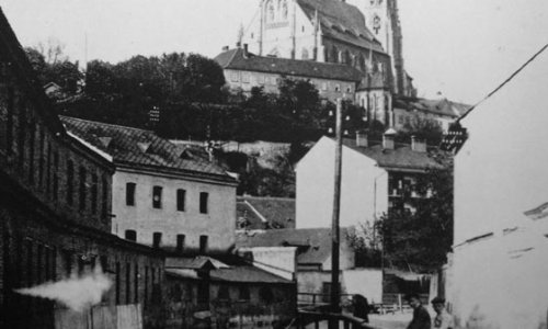
This architecture tour of the southern part of Brno, which was enclosed by ramparts until the mid-19th century, starts in the former historic suburb. The steep slopes of Petrov looked down on a marshland, through which the Svratka millrace flowed as early as the 12th century. It led from the Svratka River in the western part of Brno, near the Stone Mill (the present-day district of Pisárky) and on through Old Brno, along the southern ramparts and towards the eastern outskirts of Brno. There was a spa on the millrace from the Middle Ages onwards, occupying the site of present-day Vodní Street; the millrace also served as a duct pumping water water over Petrov to the city's fountains on Zelný trh market and Dominikánské square. The Svratka raceway gave the entire location a peculiar atmosphere reflected in the common name of the area: "Brno Venice".
The historic development below Petrov expanded mainly along the main roads leading from the southern gate to Old Brno. One of these routes led along the present Kopečná and Pekařská streets, another one via Nové Sady and Křídlovice, a suburban settlement (present-day Křídlovická Street). Houses and homesteads were surrounded by vast vegetable gardens on the entire southern part of the city, as far as the left bank of the Svratka River. However, the boggy area along the millrace was improved in the late 18th century and a new road (present Hybešova Street) was built between the existing roads in order to facilitate the connection with Old Brno. This boosted building activities in the area, which witnessed a building boom after 1850, when the entire suburban area became a part of Brno. By the early 20th century residential buildings and several industrial installations had occupied the entire area, whose new streets reached as far as the banks of the Svratka River.
The establishment of the railway line represented a significant urban intervention with the southern part of the city. The northern, or also Břeclav, line from Vienna leading over the viaduct to the passenger station, intersected the Nové Sady gardens in 1839. The original viaduct was buried in the 1890s and a new cargo station with a large warehouse was built on the embankment. This radically reduced the size of the gardens and the entire location lost much of its attractiveness as a potential residential estate.
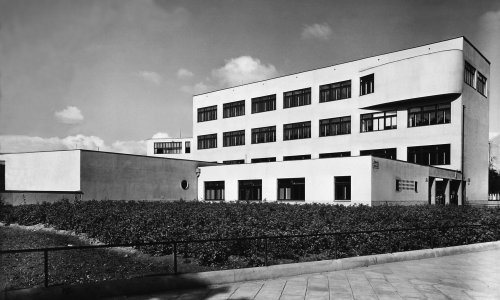
After the formation of independent Czechoslovakia in 1918 the building activities below Petrov focused mainly on public buildings whose presence was necessitated by the growing Brno population. These included mainly school buildings in Křídlovická and Poříčí streets. The effort to improve the hygiene in locations where older houses did not feature adequate sanitary facilities resulted in the reconstruction and extension of the spa in Kopečná Street.
The preparation of the new regulation plan for the City of Brno in the 1920s involved a proposal to transfer the existing passenger railway station southwards and to extend the city's centre along Nové Sady Street as far as the banks of the Svratka River. Bohuslav Fuchs, Josef Peňáz and František Sklenář, the authors of this concept, presented the winning entry, "Tangenta", in an competition in 1927. Their plan included a promenade with new urban complexes replacing the existing railway line (the extension of Benešova Street). The centre of the city, enriched with new administrative, commercial and public buildings, would have nearly doubled its original size. A broad transport artery should have been linked to the main promenade to serve as a southward access road lined by new residential estates. The project was used as the basis for follow-up urban and transport studies of the development of the south from the 1930s. However, these plans were never realized to the intended extent, mainly due to the economic and political situation before the outbreak of World War II.
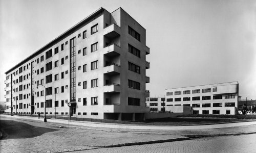
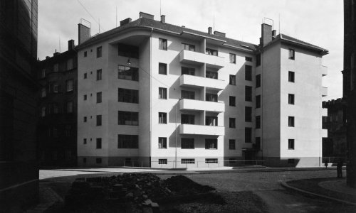
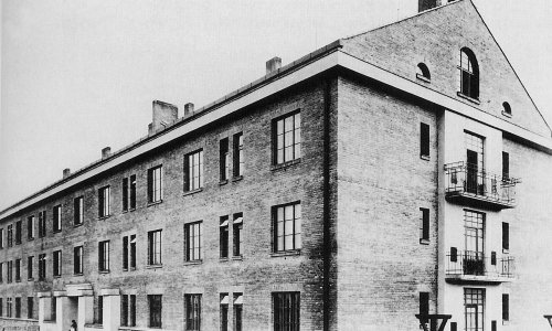
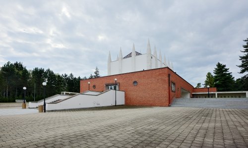
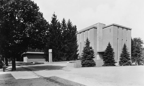
A part of the urban concept was implemented on the other side of the Svratka River. By that time, houses and homesteads had grown especially along Vídeňská Street, the main road leading south from Brno. In the second half of the 19th century this street reached the customs authority building on the corner with present-day Celní Street. In 1883 the so-called Zentralfriedhof (Central Cemetery) was set up beyond this limit in order to replace numerous existing graveyards around the city centre. The gradually expanding area of the cemetery received the buildings of the ceremonial hall and crematorium in the interwar period. A new street was outlined to provide for access to the cemetery (present-day Renneská Street) linked to the axis of Nové Sady. The regular street network in the vicinity of this street brought new possibilities for affordable housing projects as an alterative to the so-called emergency estates in Polní Street or the still existing Kamenná district. The long-standing shortage of apartments for the lower classes was addressed in 1936 by an amendment to the Building Act providing financial support from the state budget for "minimal" housing projects. This enabled the building of a large affordable housing estate situated between present-day Renneská and Dvorského streets and other smaller developments in Náplavka and Ypsilantiho streets.
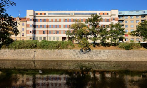
The planned connection between Renneská Street and the western access road (present-day Jihlavská Street) carried out during World War II changed this location considerably. After the Svratka millrace was filled and the inner city ring road was completed once the rock had been split in the lower part of Husova Street in the early 1940s, Nové Sady and Renneská streets became direct transit routes. While this surely helped relieve traffic in the very centre of the city, the attractiveness of the residential estates in the southern part of Brno decreased proportionately to the increasing traffic load.
The new concept implemented in the 1980s significantly reduced traffic in Renneská Street, but the project failed to turn the location into an attractive part of the city. Nové Sady Street remains a transport artery and the future character of the Southern Centre is one of the topics of the new area plan now being prepared.
Name
South 1918–1945
Length
4 KM
Number of objects
12
Trail Starts Here
Nádražní 203
First object
Kopečná Municipal Spa
C362
Public transport
Nové Sady (TRAM 1, 2, 4, 8, 9, 10, 12)
GPS
Download as GPX file
Download as KML file


