Veveří 1918–1945
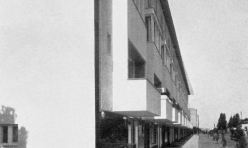
The architecture trail around the Veveří city district covers the area between two historical roads leading northward from Brno, i.e. the present-day streets of Veveří and Lidická. While Veveří Street (formerly known as Malá Nová Street) led to the castle of the same name and on to Tišnov, Lidická Street (previously Velká Nová Street), Brno's most important road, led to Královo Pole, Svitavy and on to Bohemia. The housing development that gradually grew along the roads as far back as the Middle Ages was joined by industrial facilities in Lidická Street. This street was home to Brno's first textile factory, several brickworks and a brewery. Military bases with barracks, training grounds and other installations were located further on in the direction of Královo Pole.
A continuous residential district formed in this area from the mid-19th century on. The prevailing apartment buildings and public buildings changed both high streets and their surroundings into respectable avenues. The stretch between present-day Moravské Square and Lužánky Park is where the housing development copied Lidická Street. The surroundings of Veveří Street then contain a network of streets spreading as far as the Tivoli apartment complex (present-day Jiráskova Street), which, together with the adjacent facilities of the Czech University of Technology, represented the very edge of the city.
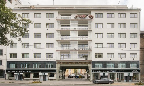
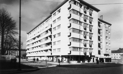
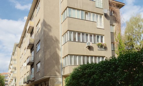
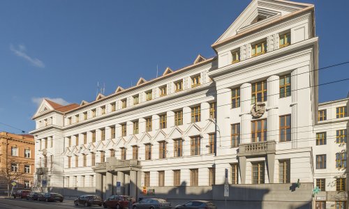
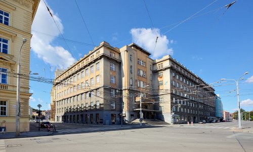
These were the areas where building boomed after World War I, since the merger of Brno and the surrounding villages in 1919 created the problem of forming an urban connection between the city and the neighbouring villages of Žabovřesky and Královo Pole. The early 1920s thus saw the building of newly delimited street blocks between Nerudova, Zahradníkova and Kotlářská streets. Administrative centres and grand apartment buildings were constructed in response to the post-war housing crisis. The development in this area subsequently moved to Kounicova Street, which was then undergoing a metamorphosis into a new urban avenue. New public buildings necessary for the role of provincial capital that Brno assumed after the formation of Czechoslovakia were erected among older houses.
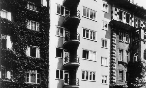
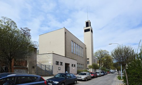
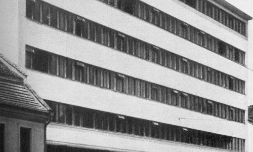
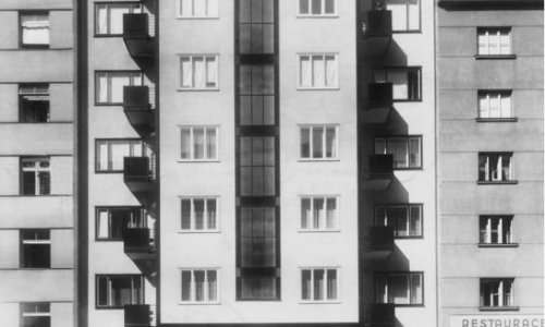
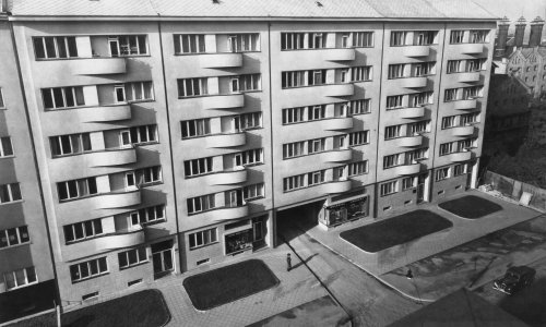
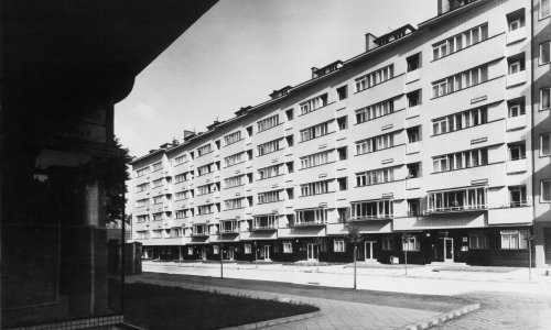
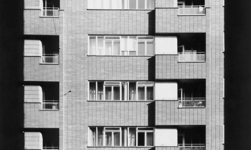
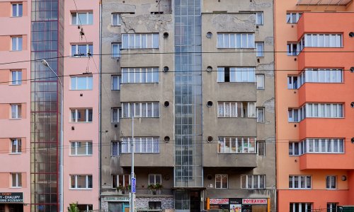
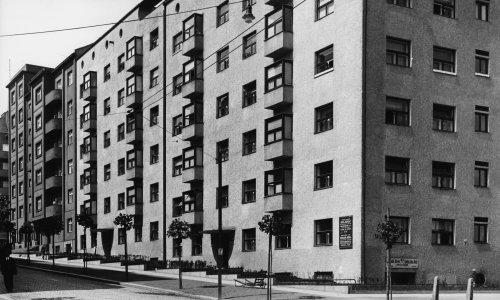
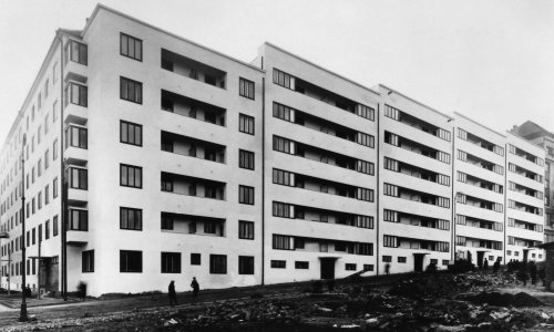
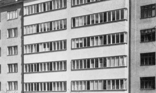
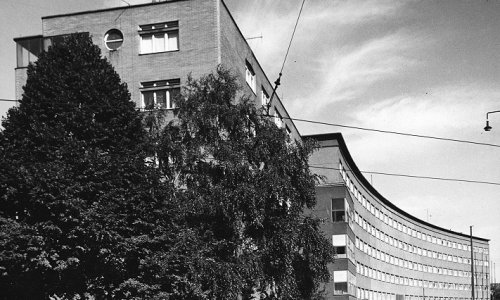
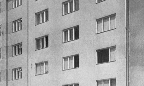
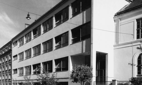
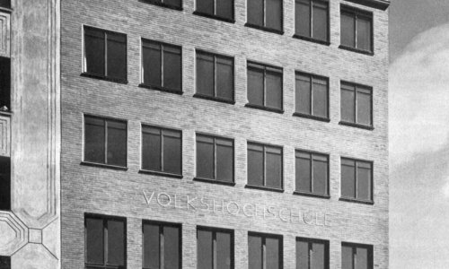
The regulation of the area between Lidická and Veveří streets was an important interwar urban-planning effort in this part of the city. The fact that this plot had been occupied by a vast municipal cemetery made it impossible to connect the two streets long after its cancellation in 1883. Although the cemetery was radically reduced in 1909 and converted into a city park, the surrounding area was free of any development. In the early 1920s the park was divided and a botanical garden was set up in its southern part (present-day Tyrš Park); this garden is still commemorated in the name of the adjacent street. Its northern edge served as the axis of a new street complex (Sušilova, Tučkova, Bayerova and other streets) delimited in the early 1920s; the actual development took place in the following years. While the 1920s could boast a diverse range of building commissions, all attention was fixed on housing issues in the 1930s. Therefore, in the 1930s apartment buildings were mainly built and the worldwide economic crisis also made affordable housing a key issue.
Given the high cost of construction on undeveloped land, it was necessary to regulate development in the city's historic parts. Regarding the area surrounding Lidická Street, redevelopment or reconstruction of the industrial areas proved to the best variant, for these sites had for various reasons lost their original purpose. These industrial sites included Brno's historic textile factory with the adjacent workers' estate referred to as "Šmálka," a reference to one of the factory owners, Heinrich Schmal. Established in the late 18th century, this was the oldest workers' residential estate in the Austro-Hungarian monarchy. It consisted of several dozen low, originally raw brick houses at the site of present-day Mezírka Street, whose name still commemorates these tight quarters. Although the estate as such did not cease to exist until after World War II, the textile factory buildings were demolished and replaced by new development starting in the late 1920s. The originally closed block opened up to a new network of streets with mostly apartment buildings. The formerly cramped Mezírka was expanded and linked to Lidická Street via the arcade of the newly built hotel known today as the Slovan Hotel. The other end of Mezírka runs into Leoš Janáček Square, built near his house. Mezírka is perpendicular to Mášova Street, whose generous passageway in the monumental apartment block provided access from Moravské Square.
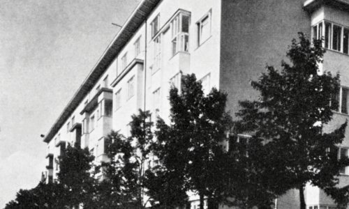
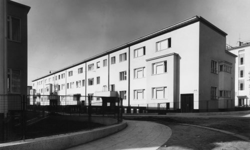
In the late 1930s, the site of the Moravian Brewery in the lower part of present-day Kotlářská Street, also underwent redevelopment. The economic crisis had a significant impact on this important Brno brewery and it was forced to shut these premises down. The regulation department of the Municipal Building Authority designed a new network of streets on the site, where private construction companies subsequently built complete apartment buildings. In this way, the area neighbouring on Lužánky Park, the present-day Staňkova, Střední and Vnitřní streets, received new development during the 1930s. The development of the area delimited by Kotlářská, Dřevařská, Bayerova and Štefánikova streets took place immediately before the occupation and in the first years of World War II. This helped at least partially curb the impacts of the housing crisis that had troubled Brno for the entire period of the first republic.
The urban concept of the town district of Veveří was significantly transformed by the adjustments of the southern part of Kounicova Street after World War II. The prominent Continental Hotel was built on the site of the Šmálka workers' estate, and other buildings rose in its vicinity. In the second half of the 20th century the free plots resulting from the merger of Brno and the surrounding villages, in this case on the border dividing Žabovřesky and Královo Pole, were developed.
Name
Veveří 1918–1945
Length
5 KM
Number of objects
51
Trail Starts Here
Moravské náměstí 755, 947
First object
Falkensteiner Foundation House
C231
Public transport
Moravské náměstí (TRAM 1, 6)
Moravské náměstí (TRAM 2, 3, 4, 5, 8, 9, 10, 12)
Moravské náměstí (BUS 81)
Česká (TROL 32, 34, 36)
GPS
Download as GPX file
Download as KML file


